
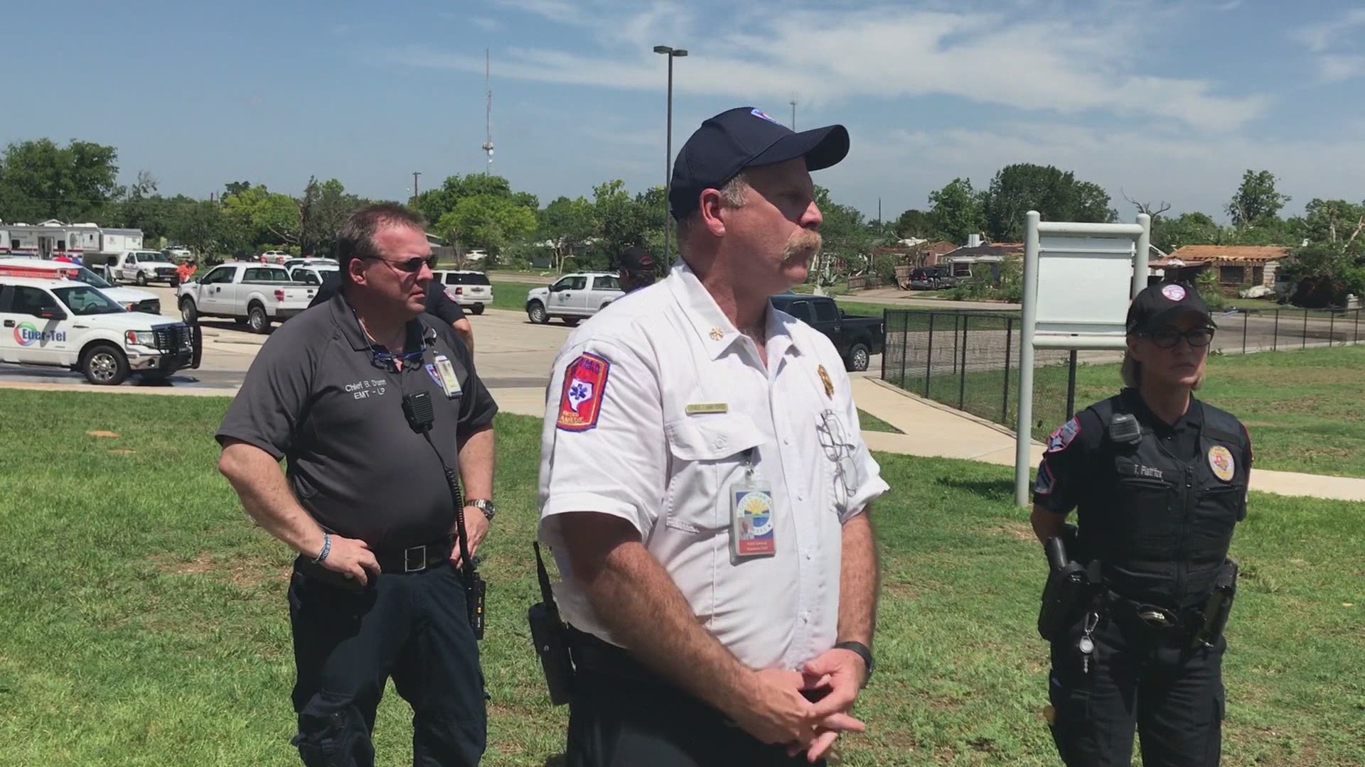
As many in the Concho Valley and Big Country continue the clean-up from tornadoes that struck their communities Saturday morning, the National Weather Service in San Angelo said the areas should expect more severe weather Monday afternoon.
According to the NWS' morning weather briefing, the big story today is the severe weather outbreak, likely to occur this afternoon into late evening.
NWS forecaster Stephen Harrison said in the briefing, "This could be a life-threatening situation for much of West Central Texas, as strong to severe storms are likely to develop, producing potentially strong tornadoes, very large hail and damaging winds of 80 mph or greater."
The highest threat, according to Harrison, is in the northern counties of the area, but doesn't discount a threat elsewhere.
Harrison issued a reminder for citizens to have at least two ways of receiving weather warnings and to stay alert to any warnings issued by the National Weather Service.
"Take the time now to have an action plan, should you have to take shelter." he said.


Currently, the forecast calls for a 30 percent chance of showers and thunderstorms, mainly after 8 a.m. Monday. The NWS said some storms could be severe, with large hail. Winds, from the south will be at 15 to 20 mph, increasing to 20 to 25 mph Monday afternoon with the potential to gust as high as 45 mph.
Tonight, showers and thunderstorms are likely, mainly after 2 a.m. Some storms could be severe with large hail and south to southeast winds at 20 to 30 mph, with gusts as high as 45 mph possible. The chance for precipitation is 70%.